- Decrees and Regulations
- Notices and Calls
- ECST Phase I
- Travel Suggestions
- Online documents
Duration 12 months
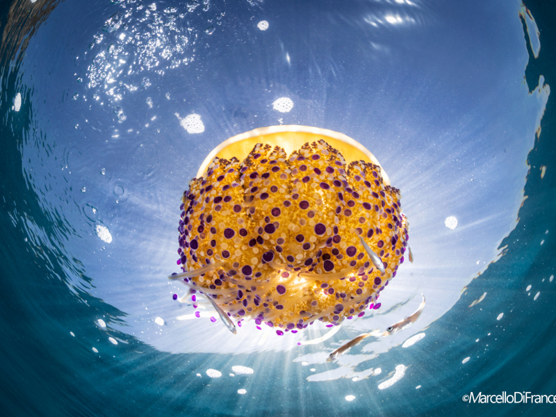
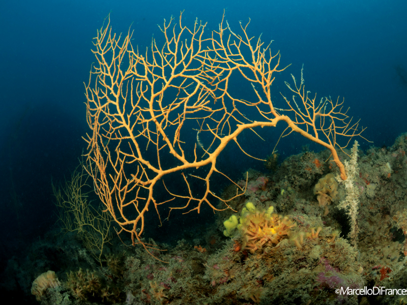
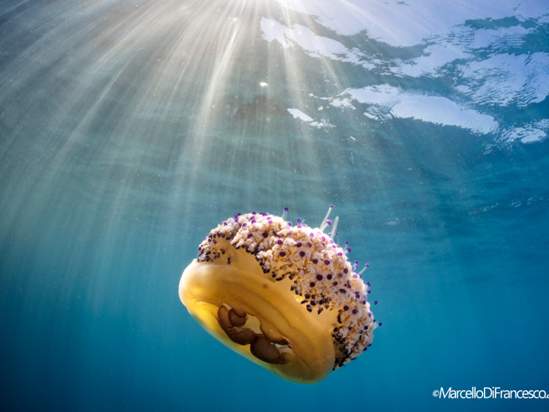
Over the last decade, following the needs identified by the Marine Strategy Framework Directive to monitor the coralligenous habitat, several biotic indices have been developed, all of which are functional for assessing the quality of the coralligenous wall. Nevertheless, they are based on different approaches and metrics, which makes it difficult to compare the results obtained with different methods. After intercalibrating some of the main indices and approaches existing in the literature for the Mediterranean, the results were integrated and standardised into a single procedure to assess the status of the coralligenous wall. Therefore, the STAR method (STAndaRdized coralligenous evaluation procedure, Piazzi et al., 2019) was developed, a protocol that, by optimising the balance between sampling effort and the type of information obtained (data collection generally represents the most onerous part of monitoring plans, in terms of time and costs), allows the ecological parameters considered so far relevant for the assessment of coralligenous wall quality status to be collected in a database common to the different methods. This protocol is recommended in the ISPRA guidelines (Gennaro et al., 2020) for national monitoring of coralligenous wall.
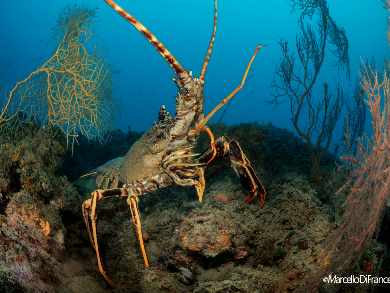
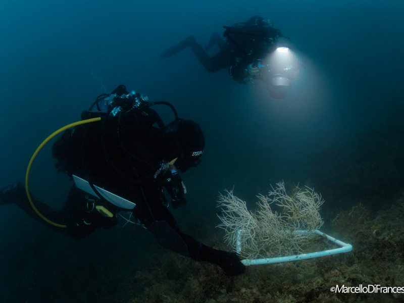
For the definition of the coralligenous ecological quality in the survey sites, at depths between 30 m and 40 m and therefore accessible to scientific underwater researchers in autonomous dives with ARA, the national STAR protocol involves the collection of photographic samples while underwater, the measurement of the thickness of the limestone matrix using a penetrometer, and the measurement of the height of the coralligenous erect layer. Simultaneous to the photographic sampling, the STAR protocol includes underwater visual surveys using the expeditious Rapid Visual Assessment (RVA, Gatti et al., 2015) method. This method is based on observations and measurements made directly underwater and allows for an adequate taxonomic detail in the information collected and a high degree of completeness, as it integrates biological, mesological, and geomorphological information. These data collected will allow the calculation of all the main Italian reference indices developed for the definition of the ecological quality of the coralligenous: ESCA (Ecological Status of Coralligenous Assemblages; Piazzi et al., 2017); COARSE (Coralligenous Assessment by Reef Scape Estimate; Gatti et al., 2015), and ISLA (Integrated Sensitivity Level of coralligenous Assemblages; Montefalcone et al., 2017).
The following activities are therefore proposed for defining the ecological quality and assessing the change over time of the coralligenous habitat in the Cinque Terre Marine Protected Area:
Define the ecological quality of the coralligenous habitat at Punta Mesco and Capo Montenero by applying the national monitoring protocol of the coralligenous wall STAR (STAndaRdized coralligenous evaluation procedure), provided by the ISPRA guidelines (Gennaro et al., 2020). For this purpose, visual underwater surveys will be conducted applying the RVA expeditious method (Gatti et al., 2015) and photographic sampling will be carried out at a depth of about 35 m on sub-vertical cliffs characterised by the presence of the coralligenous habitat. These data collected will be used for the application of the COARSE landscape ecological index useful for defining the ecological quality of the coralligenous habitat present at Punta Mesco and Capo Montenero, within the Cinque Terre MPA.
Evaluation of long-term change (last 65 years) in hard bottom benthic communities along a depth gradient (10 m - 45 m) by revisiting historical photographic sampling stations at Punta Mesco (Gatti et al., 2015; Azzola et al., 2019).
Define the ecological quality of the coralligenous habitat in two sites of the Cinque Terre MPA;
Set a baseline for coralligenous monitoring in the MPA, to properly assess its trajectories of change over time;
Assess the change in benthic reef communities over the last 65 years, in relation to the synergic action of local and global anthropic disturbances.
Project duration: 12 months
Scuba diving with an air breathing apparatus (ABA) by qualified underwater scientific operators from DiSTAV on the circalittoral coral reefs between 35 m and 40 m depth at Punta Mesco and Capo Montenero. In each area, 3 repetitions (spaced about ten meters apart) of visual survey by RVA will be carried out, 10 photographic samples will be collected per repetition and the STAR protocol will be applied. A total of 4 dives will be required.